
Our speaker, Craig Latham, who is Manager of the Maps Reading Room at the National Library of Scotland has worked in heritage sector for 20 years. He has also written six books, including a biography of Bruce Springsteen, which he tells us "always raises a laugh"
Craig gave us a fascinating and in-depth talk about maps from the National Library of Scotland and their use in family history. He first gave us a brief overview of the NLS which moved from its initial site in Edinburgh in 1958 – 1974 to Causeway Side in an old biscuit factory until a purpose-built 7-floor library was built on the same site in 1987.
The National Library of Scotland holds maps from all around the world but obviously more from the home nations of Scotland, England and Wales. The website has an online searchable map catalogue which features 2.5 million maps. If they don’t have the map you are interested in, they may be able to find it for you; Craig said they were a good starting point if you were looking for a specific map. The website is http://maps.nls.uk and is well worth spending some time familiarising yourself with it. They have the complete series of OS maps and the site is a fantastic resource for family historians. OS maps started as 6” to the mile or 25” to the mile, the larger scale maps giving individual buildings and greater detail. By 1957-1963 maps were scaled at 1:1,250 or 1:2,500, the larger scale showing house numbers – more of these are coming online all the time.
The NLS has a range of early maps including 16th century Forlani’s map, 1580-1590 Pont’s map, 17th century Blaeu’s map and 1745-1755 Roy’s military map. As mapping became more sophisticated, maps became more detailed. Mostyn Armstrong’s 1773 map of the Three Lothians contains detailed street names while John Wood’s plan of Dalkeith of 1822 shows individual houses and names of property owners and tenants. Craig talked about various other types of maps held including manuscript maps, land utilisation surveys, Goad plans (mostly Scottish maps showing fire insurance plans), First World War trench maps, Air photos 1944-50 (only Scotland online) Admiralty Charts for the world and Bathymetrical surveys of water depths of every loch in Scotland. Not all of these maps are online but the library is continuing, over time, to make more maps accessible via their website. World maps, such as James Robertson’s 1804 map of Jamaica, will be going online over the next 5 years along with up to 500,000 other world maps.
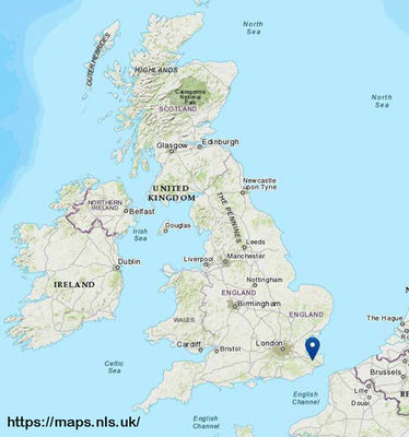
Craig then went on to demonstrate the website using map finder with outlines. The whole UK is covered by 6” to the mile maps from 1840 – 1960 and you can search in the gazetteer for a specific area. Using map finder with pin, you can search a particular region and dated maps of that area pop up. Map finder has 250,000 maps online, with a drop-down menu of map types and scales. Amongst other tools are side by side viewer (where you can view the same area at different dates) and geo-referenced maps where you can change an old map to an updated satellite image by use of a blue slide control. Collaborative projects like GB1900 can be used to search for individual place names, footpaths etc and the Frederick Douglas Antislavery Project shows the venue of any black abolitionist talking in Edinburgh so there are a vast range of tools to utilise.
You can order maps from the National Library of Scotland from A4 up to A00 and you can buy digital maps. You may also be able to print maps at home (copyright is explained on the homepage). The library is happy to answer any inquiries via email at maps@nls.co.uk . Craig’s parting advice was to go onto the website using Google Chrome and spend a good few hours getting used to it. This was an absorbing talk and I’m sure has inspired many of us to make better use of maps in our genealogical researches.
Report by Lesley Smith
Branch Secretary of Deal and District Branch, Kent FHS